Mount Yonah summer photo hike and picnic | |||||||
| The Basics: | |||||||
| Event Type: | Hike | ||||||
| Event Location: |
Chattahoochee National Forest, Cleveland, GA


| ||||||
| Date(s) & Time: | Sat, Aug 25 2012 4:15 pm >> Sat, Aug 25 2012 10:00 pm (Carpool Departure: 2:30 pm *log in for location*) | ||||||
| Registration Opens: | Mon, Aug 13 2012 9:15 pm | ||||||
| Registration Cut Off: | Fri, Aug 24 2012 10:00 pm | ||||||
| Event Duration: | Per Itinerary | ||||||
| Difficulty Rating: | D3: Moderate | ||||||
| Distance: | 4.5 Miles | ||||||
| Pace: | Leisurely | ||||||
| Trip Leader(s): | Tony C Joyce T.  Email Trip Leader(s) Email Trip Leader(s)
You must be logged in to get the Trip Leader contact information. | ||||||
| Member Cost: | None | ||||||
| Participant Info: | |||||||
| Who's Invited: | Members Only, 21 And Older Only | ||||||
| Maximum Group Size: | 12 | ||||||
| Minimum Group Size: | 4 | ||||||
| Number Registered So Far: | 14 / 0 (To see who's signed up, log in to the Member Area) | ||||||
| Are Dogs Permitted: | No | ||||||
| Itinerary: | |||||||
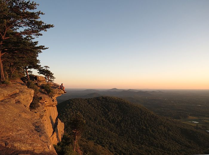
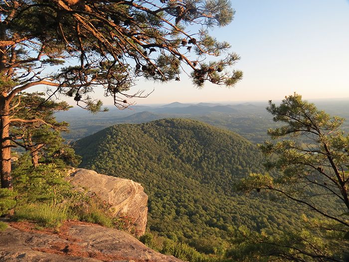
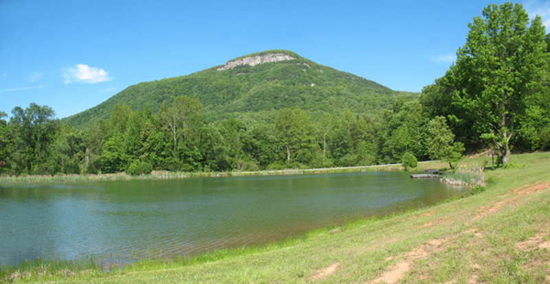
Ok let's do another sunset hike at scenic Mount Yonah. This is a "photo hike", which just means we will take extra long breaks to take pics, but a camera is not required. It is a good steady ascent to the top, gaining about 1500' in 2.3 miles...finally reaching the summit at 3166’. The plan is to head up the main trail and take a detour to "The Boulder" ... then perhaps to the climbing wall if conditions are dry enough. This involves some light (Class 2) scrambling. It’s just about 50 feet up and there are cables you can hold onto. Although I’ve gone up without touching them before when it’s very dry and good traction. But anyone who is not comfortable with this section can skip it and just wait about 20 min for the group to return to the same spot before proceeding. We will have a little picnic up there as well. Everyone can bring something to share with the group..nothing fancy, but have done these in the past and they are lots of fun. We may linger for awhile after the sunset (at 8:09 PM) if the fading colors/clouds are especially nice. Then we will head down which should take about 45 min and then about a 75 min drive back to the Park and Ride. So figure we should get back at around 10:30 Part of the hike down will be in the dark, so be sure to bring a headlamp or flashlight. The total distance will be about 4.5 miles (depend on if we get to the climbing wall) and total ascent will be about 1500'.
| |||||||
| |||||||
| How to Get There: | |||||||
| Event Directions: | Directions will be given at carpool or via email or those "meeting at event". | ||||||
| Carpool to Event Distance (round trip): | 135Mile(s) | ||||||
| Carpool Departure Time: | 2:30 pm | ||||||
| Carpool Location: | Log in for location | ||||||
| Carpool Directions: | Log in for directions | ||||||
| Carpool Cost: | Estimated cost per vehicle for this event is $54.00 using a reimbursement rate guideline of $0.400 per mile. The total amount should be divided by the number of people in the vehicle, including the driver. This is a guideline, not a rule, for drivers but the cost should not be higher unless there are extenuating circumstances. | ||||||
| Notes: | |||||||
|
- The last half mile of the drive to the trailhead is on a well maintained gravel road. Event will be rescheduled if chance of precip is 40% or higher. * We encourage all members to follow our Etiquette Guidelines while participating in AOC events. | |||||||
Cancellation/Partial Attendance: Please review the AOC cancellation policy. | |||||||


